Statistical Methods for the
Forensic Analysis of Geolocated
Event Data
OVERVIEW
Researchers investigated the application of statistical methods to forensic questions involving spatial event-based digital data. A motivating example involves assessing whether or not two sets of GPS locations corresponding to digital events were generated by the same source. The team established two approaches to quantify the strength of evidence concerning this question.
Lead Researchers
Christopher Galbraith Padhraic Smyth Hal S. Stern
Journal
Forensic Science International: Digital Investigation
Publication Date
July 2020
Publication Number
IN 108 DIG
The Goal
Develop quantitative techniques for the forensic analysis of geolocated event data.
APPROACH AND METHODOLOGY
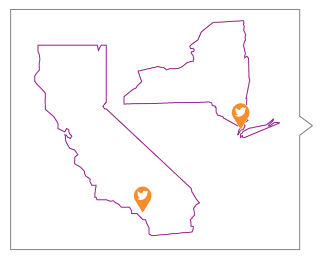
Researchers collected geolocation data from Twitter messages over two spatial regions, Orange County, CA and the borough of Manhattan in New York City, from May 2015 to February 2016. Selecting only tweets from public accounts, they were able to gather GPS data regarding the frequency of geolocated events in each area.
Key Definitions
Likelihood Ratio (LR)
A comparison of the probability of observing a set of evidence measures under two different theories in order to assess relative support for the theories.
Score-Based Likelihood Ratio (SLR)
An approach that summarizes evidence measures by a score function before applying the likelihood ratio approach.
This study considered a scenario in which two sets of tweet locations are relevant to then determine the source of the tweets. The tweets could be from different devices or from the same device during two different time periods.
The team used kernel density estimation to establish a likelihood ratio approach for observing the tweets under two competing hypotheses: are the tweets from the same source or a different source?
Utilizing this second approach creates a score-based likelihood ratio that summarizes the similarity of the two sets of locations while assessing the strength of the evidence.
Decisions based on both LR and SLR approaches were compared to known ground truth to determine true and false-positive rates.
KEY TAKEAWAYS FOR PRACTITIONERS
1
Both methods show promise in being able to distinguish same-source pairs of spatial event data from different-source pairs.
2
The LR approach outperformed the SLR approach for all dataset sizes considered.
3
The behavior of both approaches can be impacted by the characteristics of the observed region and amount of evidential data available.
FOCUS ON THE FUTURE
In this study, time defined sets of locations gathered from Twitter. But, other methods for defining sets of locations, for example, including multiple devices over the same time period, could yield different results.
The amount of available data (the number of tweets) impacts the score-based approach.